
You’ve just bought a brand new house in a new subdivision in the GTA. You know approximately how long the developers took to build the house because you bought it when they were still in the early stages of construction. You probably assumed that the developers hired some environmental experts to examine the property to first poke around for any land use issues – such as drainage, natural features, wildlife disruption, etc – before they started building. You may have even considered that a city planner would have been consulted to determine how the new development would impact the surrounding landscapes or be served by new or planned infrastructure including roads and highways. But, did you also assume an archaeologist has been by to take a look at the land your new house was built on, too? Because they definitely did.
We get this question all the time: “There’s a whole industry dedicated to Ontario archaeology?” Why, yes there is!
Any time you build something new in Ontario and alter the landscape in the process, you have to have an archaeological assessment completed first. Whether it’s a residential housing or industrial subdivision, a condo, or a large cottage development, the development proponent has to have a licensed archaeologist survey the property for any archaeological potential. It’s the law.
There are four major acts that are responsible for this industry in Ontario: the Planning Act, The Environmental Assessment Act, the Ontario Heritage Act, and the Cemeteries Act. The origins of these acts can be traced back to the 1970s, but not before some significant archaeological sites in Ontario were destroyed because of impending development.
In Ontario, the responsibility to manage archaeology falls on the province so the legislation that triggers the work comes from provincial legislation, but approvals for developments like new subdivisions are managed by municipalities. That is why some of the larger municipalities like Toronto, Hamilton, Halton, York and Durham have created management plans specific to their jurisdiction to assist in managing their archaeology. (Read about the City of Toronto’s Archaeological Master Plan.)
When a developer contacts us and asks to look at their property before they build, there are four possible stages of work that have to happen before they can even break ground.
[distance1]
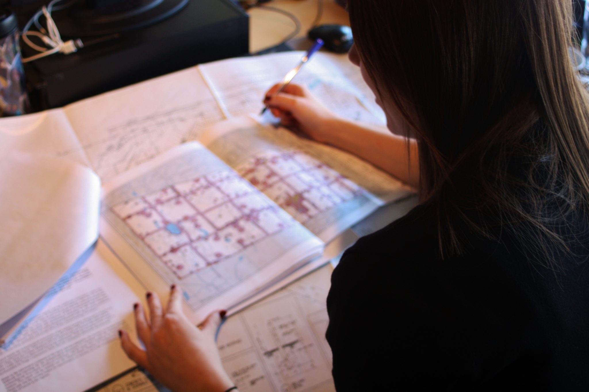
At this stage, the archaeologist takes a look at topographic and land use maps, as well as historical records, to determine if the property is in close proximity to settlement features such as a house or historic village. Proximity to water and previously registered sites are also reviewed to see if there is potential for the recovery of any pre-contact resources.
Whether it is a nineteenth-century cottage or a large ancestral Indigenous village, we will take a look at every print and digital resource we have to see the possibilities. In most cases, a visit to the site is helpful; even talking to a nearby property owner to ask if they’re aware of any sites or artifacts can be very useful.
[distance1]
The goal of a Stage 2 is to answer a “yes or no” question regarding the presence of archaeology. In this stage, it is necessary for the archaeologist to take a deeper look (pun intended) at the site. This can be in the form of walking a ploughed field or digging test pits across the property. Test pits are only dug if a plough cannot access the property, e.g., the area is lawn, pasture, or forest. Not sure what we mean? We’ll explain…

Term of the day: Controlled Surface Pick-Up (or CSP). This is when an archaeologist (or two, or five, depending on how big the property is) walks up and down a ploughed field, five metres apart, to see if there are any artifacts on the surface. We ask ahead of time for the property owner to plough the field so that the cultivator can turn over any artifacts that may be buried in the topsoil. If we notice any artifacts as we walk, we will use bright coloured marking flags to identify where the artifact is. After the walk is complete, we can usually tell where the site is depending on the concentration of flags on the field. From there, we collect the artifacts and use a Global Positioning System to find the coordinates of the flags so we can create a map to show the client where the artifacts were located. If no artifacts are found, we can let the client know that a site is clear of archaeological potential and further investigations are not necessary.
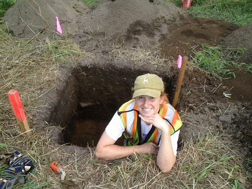
If the site area is not a ploughed farmer’s field, then test pits must be done to see if anything is hiding below the surface. Usually in pairs, archaeologists will walk in parallel lines, with one digging test holes and one screening the dirt as they move every few metres. Typically, when concentrations of artifacts are found, whether pre-contact or historical, they will be placed in an appropriate archaeological and cultural heritage landscape context to determine if a site has been found. If, however, nothing is found but worms, the client is notified that the property is clear of concern.
To recap: Stage 1 is a background search for archaeological potential in the area through the reviewing of historical records and maps. No artifacts after Stage 2? No further archaeological work needs to happen beyond summarizing the findings in a report for the first stages.
If artifacts popped up on the surface of the field or in our test pits? More work has to be done.
This stage is for all those properties that have yielded archaeological sites. At a basic level, it means that artifacts were found during Stage 2 and are of cultural heritage value. In this third stage, the goal is to find the limits of the site and get a better sample of the artifacts. A series of one-metre by one-metre units are excavated on a grid across the site. Once they are plotted on a map, it is easy to see what area is showing high yields of artifacts. Also, careful analysis of the recovered artifact assemblage will hopefully tell us when the site was occupied. If we are lucky, the crew will have recovered a projectile point diagnostic of a particular period.
This stage occurs when Stage 3 work provides clear evidence that the site is important enough that it must advance to Stage 4. Determining whether Stage 4, which may mean protection of the site, or excavation if protection is not feasible, means that the Stage 3 units were showing one or more of the following: high yields of artifacts in the units, archaeological features in the subsoil (dark organic stains in the subsoil indicating an activity happened there), or the remains of a structure.

The preferred outcome of Stage 4 is to see if the development can work around the site. For example, is it possible for the developer to turn the site area into a park or green space? This is always the favoured outcome. If it’s not necessary to disturb the site, then we don’t.
If, however, the subdivision cannot accommodate the preservation of the site because, let’s say, there is a major water main on the property that prevents the development from changing, then the site needs to be excavated and recorded properly so that all information is documented before its destruction. A thorough Stage 4 excavation involves hand-digging archaeological features such as hearths, middens, and other important deposits, sometimes stripping the topsoil in other areas with a Gradall machine to expose the subsoil to record more features, photographing all aspects of the site, and mapping every square centimetre of the area in question.
If this sounds time-consuming and a financial outlay, then you’re not wrong. However, since our preferred stance is to preserve the site, we don’t tend to do these excavations unless it is completely unavoidable. After each stage is complete, the artifacts are processed and analyzed in our labs, and a report is written up in our offices and handed to the client and, more importantly, the Ministry of Tourism, Culture and Sport. The ministry will then review the site’s conservation efforts and fieldwork. Once the report is given a checkmark by the ministry’s library science team, the report can be publicly accessed and the developer can proceed.
So, there you have it. Now you know why there are entire companies that pride themselves in archaeological detection and preservation, and you now know what may have taken place on the property your new home is situated on.
We suggest that when you finally move into your new property, pour yourself a drink, stand on your lawn, and think about all the work that went into making sure your house could be built properly and legally – with the knowledge that what went on before is now part of an official record.
Any questions? Tweet us @ArchaeologyTO or send us a message on our Facebook page. We’ll answer.

